LiDAR (Light Detection and Ranging) technology has grown in popularity due to its ability to measure distance with high precision and accuracy. From LiDAR-equipped drones for aerial surveying to LiDAR-equipped ships for navigating maritime environments, the technology is redefining standards of accuracy. Looking forward, LiDar is sure to have a lasting impact on numerous industries.
LiDAR’s Invention and Modern Uses
LiDAR was invented alongside laser technology in the 1960s, but developments in this and other key innovations have led to a more accessible and efficient tool. Google’s Waymo famously uses LiDAR technology to help its autonomous vehicles navigate city streets, while LiDAR-equipped drones have had a subtler influence across industries. When LiDAR is integrated with drones, it provides access to scalable, high-resolution 3D data for terrain and structures in a given area.
How Does LiDAR Work and What Are the Advantages?
A LiDAR system works by rapidly emitting light from a laser, which travels to the ground or another surface and reflects off any objects in its path. When the light reflects this way, the LiDAR system detects and records it to accurately and efficiently account for the distance from the sensor’s position. With enough laser emissions and reflections, a LiDAR system can provide an accurate map of an area’s elevation, distance, or other such measurements.
“The distribution of energy that returns to the sensor creates what we call a waveform,” Leah A. Wasser wrote for the U.S. National Science Foundation. “The amount of energy that returned to the LiDAR sensor is known as ‘intensity.’ The areas where more photons or more light energy returns to the sensor create peaks in the distribution of energy. These peaks in the waveform often represent objects on the ground like a branch, a group of leaves, or a building.”
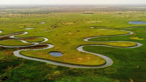
This technology has found an unlikely use in measuring the height and density of vegetation, such as trees. Where traditional surveying methods would require climbers to directly measure the height of a tree or perform a more robust calculation, LiDAR systems provide a far easier method for achieving the same results. Ultimately, LiDAR offers faster data acquisition in hard-to-reach areas with higher point density and precision. By reducing field time and manpower, LiDAR systems reduce costs and promote efficiency.
Drone LiDAR and the Industries That Benefit
While LiDAR is an incredibly useful technology, positioning the system for accurate and effective data generation is essential. An aerial view provided by a LiDAR-equipped drone is unmatched for accessible, scalable surveying. In construction and infrastructure, forestry and environmental monitoring, mining and energy, as well as urban planning and disaster response, drone-based LiDAR is making waves, and drones have already proven their effectiveness in other cases.
These industries depend on accurate mapping of local terrain and existing man-made structures, which LiDAR can both provide and supplement. Equipped with an accurate, 3D view of the environment, industries are better prepared to operate efficiently and effectively. This level of adaptability ensures that projects can find success by remaining informed with reliable data. Of course, a modular LiDAR device that can be accessed by a wide variety of drone platforms, chargers, or other technologies is essential for making the most of these systems.
Looking to the Future of LiDAR
As artificial intelligence (AI) and cloud-based processing technologies improve, LiDAR systems will adapt for greater efficiency. AI can more quickly interpret data, while cloud-based solutions provide access to that data more rapidly than ever before. By making environmental measurement interpretable in real-time, LiDAR promises to enhance decision-making capabilities across industries. Certainly, LiDAR technology is positioned to change the way businesses approach surveying and data collection.